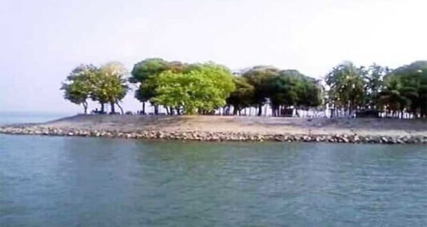
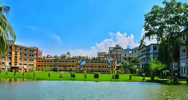
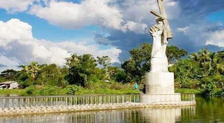
Chandpur is a district located in Bangladesh’s Chittagong Division. It was a part of Comilla District until 1984. Chandpur is a nice city. It is a medium-high district but full of natural scenery.
Statistics of Chandpur
Its area about 1,700 Sqk. There are 8 Upazilas, 7 manucipality, 79 Unions and 1,365 villages in Chandpur. The population is about 28 lac now.
It stands on the River Meghna but the Dakatia is divided Chandpur into 2 parts. It’s a river erosion area in the country. About 20 unions close to the bank of the river.
There’re 2 irrigation projects in Chandpur. These ‘ re the Chandpur irrigation project and the Meghna Dhonagoda irrigation project.
Chandpur is famous for Hilisha fish. So it’s called the ` Ilsherbari Chandpur ‘. Jute, Paddy, Pepper, Potato, Sugarcane, Maize and different kinds of vegetables grow in Chandpur. All kinds of ways are very excellent. But there is no air. Railway and Riverway’re very cheap to journey.
There are many tourist spots in Chandpur. The peaceful environment for learning and earning here. But the river erosion is our misery. Fish available in the rivers, ponds and open dishes.
See more : Faridganj became independence on this day in 1971
There‘re 50 government and non–government Colleges, 293 govt and non-govt Schools, 260 Madrashas, 1,111 govt. Primary Schools, 450 Ebtadai and 610 Kinder Garden Schools.
We , re in the front line in religious activists. About 7,424 Mosques in Chandpur. 96% of people are Muslims here. All the Muslims may attend the mosques in the Jum’a day ‘.
The law and orders situation is comparatively better than other districts. The communication of Chandpur is excellent than the other districts.
The Matlab bridge, the Chandpur-Raipur bridge, the Puranbazer bridge, the Hajiganj-Ramgonj bridge and Chandpur-Cumilla Moha Sarak play a vital role for communication.
There’re 3.58 lac active golden boys who live in the home and aboard. So they may earn a huge amount of foreign currency by hard labor. This is called remittance. They’re about 200 bank branches in the whole district.
For this, our Chandpur is 6th position in the whole country. They ‘re changing our socio-economy. So we honor them very cordially. Cumilla is first.
See more : Chandpur became independent today in 1971
We ‘re going to towards Medical Scince. Education, Health and ICT technology. Our Education Minister Dr. Dipo Moni MP and other Publice re- presetatives ‘re going to work hard and soul for developing these sectors. Our health sectors going to give us better service.Because there’re 8 Upazilla Health Complexes, 250 bed Hospital, about 147 private hospitals and 250 community clinics in Chandpur.
Our political situation is also excellent. Because our political leaders ‘re sincere and peaceful minded. Chandpur is full of socio-cultural activists.
About 40 socio-cultural organizations here. Puranbazer is the till business center of Chandpur but now Hajigonj is going to be a modern Business Centre. There’re 3 Jute mills here but there is no past glorious. These are the W.Rahaman, Star-al-quad and Hamidia Jute mill.
Above all our Chandpur has good name and fame. The men and women of Chandpur is very cooperative, sincere, open-hearted, kind, entertainable and social. Chandpur is a birthplace of many scholars and re-newed persons.
History
During the ruling of the Baro-Bhuiyans, this region was occupied by Chand Ray, the Zamindar of Bikrampur and son of Kedar Ray. According to historian J. M. Sengupta, the region was named Chandpur, following the name of Chand Ray. On the other hand, others say that the name of this region comes from Chand Faqir of Purindapur mahalla of Chandpur, Bangladesh. It is said that an administrator named Shah Ahmed Chand came here from Delhi in the fifteenth century and established a river port.
In 1779 AD, Major James Rennel, a British surveyor, drew a map of Bengal during the British rule and included an obscure town called Chandpur. At that time, there were offices and courts at a place called Narsinghpur (which has now sunk) south of Chandpur. The confluence of the Padma and the Meghna was about 60 miles southwest of the present place. This area has now disappeared due to the game of breaking the Meghna river.
The first Chandpur subdivision was formed in 1878 as a result of administrative reorganization during British rule. On 1 October 1896, Chandpur city was declared as a municipality. It was declared as Chandpur district on 15 February 1984.
Geography
The Geological formation of Chandpur was taken place in Pliostocin and Holocene Era. The geographical history of Chandpur was found in the East-Indian country-map of Perguitar. On the map, south to Bangladesh, Sagornooper, to the north Pragjyotish and the Eastern plain beside hills was known as ‘Kiratas.’ The then Red River (Brammhaputra of today) borne alluvial soil contributed the formation of ‘Kiratas’ and Comilla was under it. That is Chandpur was under ‘Kiratas.’ In the map of Tomas Water, a land named ‘Srikhetra’ was shown to the south of the combined course of both the Titas and Gomati (probably). It is guessed that Chandpur and the west part of Noakhali were under ‘Srikhetra.’ In the map of Jean De Brosse in 1560, ‘Tropo’ was shown by river banks. This ‘Tropo’ was actually Tripura or Comilla region. That is, Chandpur was a part of Tripura. In the map of Portuguese sailor Sanson de Abevil in 1652, Bander, a place was marked where there was a big river port. This port was actually Chandpur. In 1779, English surveyor Major James Rennel drew a map where not only Tripura but also Chandpur and Comilla were rightly spotted.
Above the circumstances, we can feel proudness for our Chandpur.
Abdul Ghoni , September 02,2020
 Chandpur Times Top Newspaper in Chandpur


